FERDONOR, SL
FERDONOR, SL is a hardware store in Santiago de Compostela, A Coruña, Galicia. FERDONOR, SL is situated close to the police station Policía Local de Oroso and the park Alameda de Gois.- Opening hours: Monday—Friday 9:00 AM—11:00 AM and noon—1:00 PM
- Email: aceros@ferdonor.es
- Type: Hardware store
- Address: 6, 15688
Notable Places in the Area
Church of Saint Mary
Church
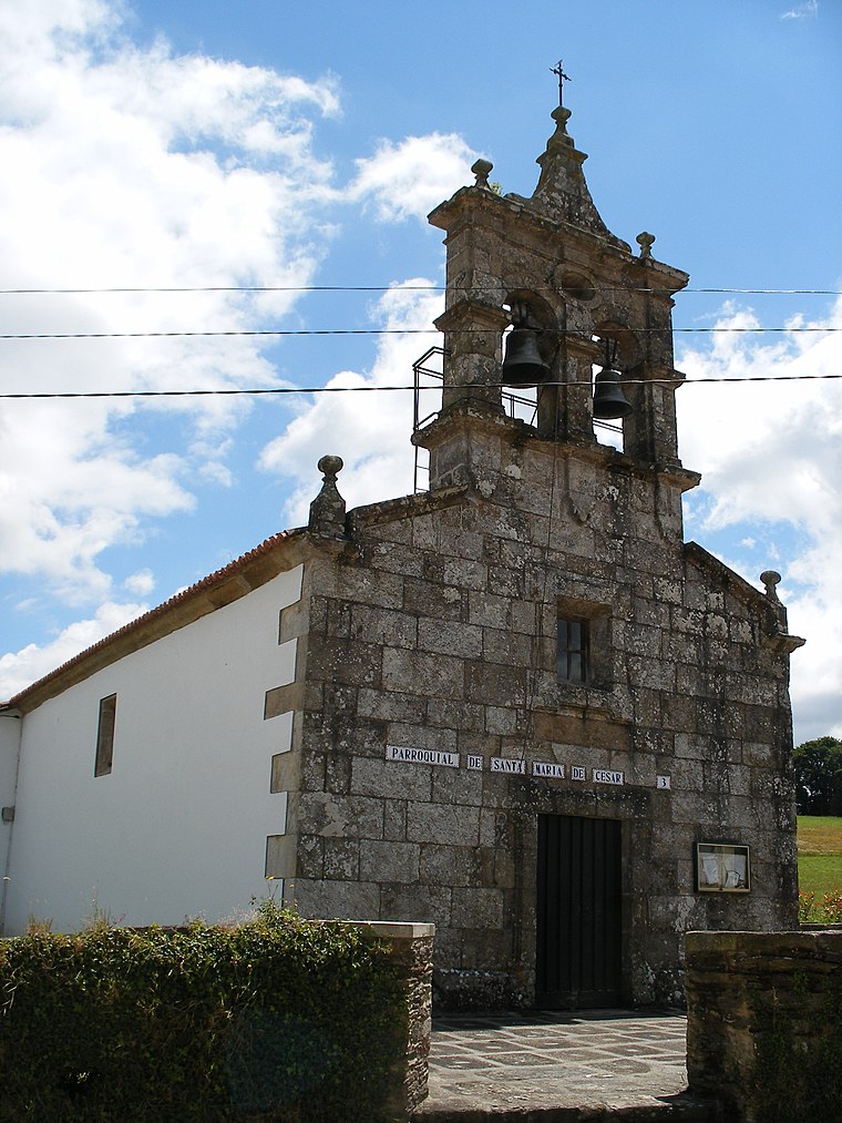
Photo: Wikimedia, CC BY-SA 3.0.
Church of Saint Mary is situated 2½ km southeast of FERDONOR, SL.
Church of Saint Vicent, Marantes
Church
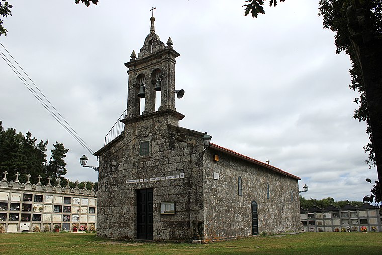
Photo: Beninho, CC BY-SA 4.0.
Church of Saint Vicent, Marantes is situated 2½ km southwest of FERDONOR, SL.
Estación de Oroso
Building
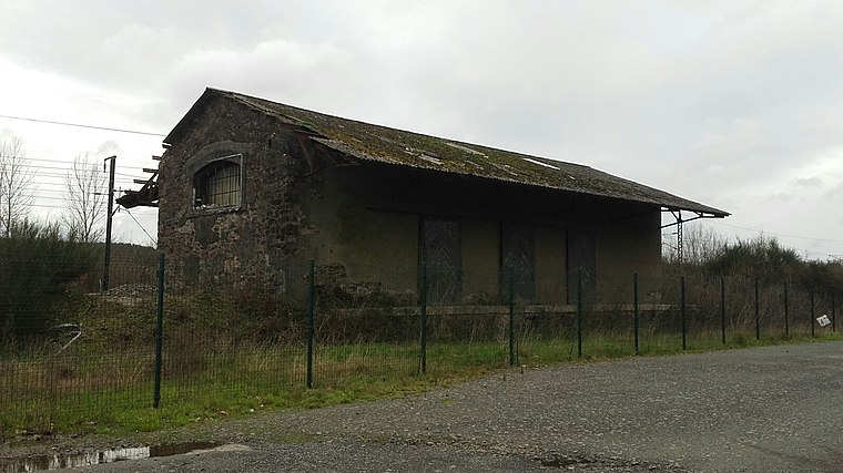
Photo: DamiFM, CC BY-SA 4.0.
Estación de Oroso is a building situated 2 km northwest of FERDONOR, SL.
Localities in the Area
San Paio
Hamlet
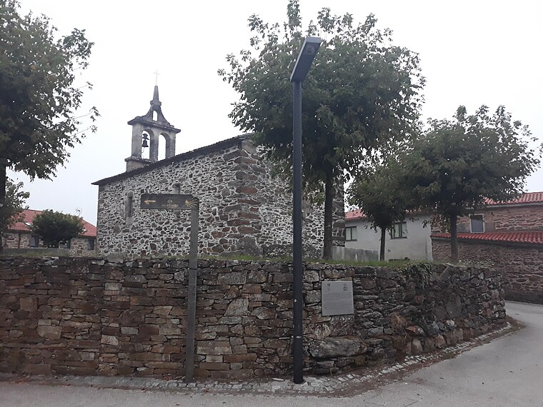
Photo: Simon Burchell, CC BY-SA 4.0.
San Paio is a hamlet situated 7 km south of FERDONOR, SL.
Lavacolla
Hamlet
Photo: P.Lameiro, CC BY-SA 3.0.
Lavacolla is a hamlet situated 8 km south of FERDONOR, SL.
FERDONOR, SL
- Category: shop
- Location: Santiago de Compostela, A Coruña, Galicia, Green Spain, Spain, Iberia, Europe
- View on OpenStreetMap
Latitude
42.9735° or 42° 58' 25" northLongitude
-8.44093° or 8° 26' 27" westOpen Location Code
8CJHXHF5+CJOpenStreetMap ID
node 6880073885OpenStreetMap Feature
shop=hardwareFERDONOR, SL Satellite Map
© OpenStreetMap, Mapbox and Maxar
Landmarks in the Area
- Policía Local de OrosoPolice station, 480 metres south
- Alameda de GoisPark, 500 metres south
- Biblioteca Municipal de OrosoLibrary, 500 metres south
- Centro CulturalCommunity center, 510 metres south
- Concello de OrosoTown hall, 530 metres south
Places in the Area
- Ferdonor
- Colexio de Educación Infantil e Primaria Plurilingüe do Camiño InglésSchool, 180 metres south
- Autoservicios FamiliaSupermarket, 180 metres southwest
- EsinorIndustrial building, 240 metres east
- Centro de Saúde de OrosoClinic, 390 metres south
Popular Destinations in Galicia
Discover Lugo, Pontevedra, A Coruña and Vigo.
Escape to a Random Place
Discover other hardware stores in the world.
About Mapcarta. Thanks to Mapbox for providing amazing maps. Data © OpenStreetMap contributors and available under the Open Database License. Text is available under the CC BY-SA 4.0 license, excluding photos, directions and the map. Photo: Lmbuga, CC BY-SA 3.0.